
UAE's Leading Landscape BIM Specialist
Coordinated, clash-free, construction-ready digital models - built by a team that understands landscape execution, not just visualization.
16+
22+
75%
Years Combined Revit & BIM Expertise
UAE Projects Delivered
Average Clash Reduction BeforeConstruction
ISO
19650 Aligned Workflows
Why Asterwix Exists
Landscape is one of the most under-coordinated disciplines in construction BIM. On most projects, it's modeled last — after architecture, structure, and MEP have already locked their layouts — which means irrigation lines clash with foundations, planting beds conflict with utility corridors, and hardscape levels don't match site grading until someone catches it on-site, usually too late and too expensive to fix cleanly.
Asterwix exists to flip that order. We model landscape as a first-class discipline from day one, coordinated in parallel with architecture, structure, and MEP - not bolted on afterward. That single shift in sequencing is why our clients see fewer RFIs, fewer site clashes, and fewer change orders during landscape execution.
How We're Different From a Generic BIM Vendor
A generic BIM outsourcing firm will model what's in your drawings. We do that too — but we also flag what's not in your drawings yet: irrigation zones that haven't been coordinated with underground MEP, retaining walls that don't account for grading tolerances, planting layouts that will clash with a substation nobody modeled. That's the difference between a modeling vendor and a landscape BIM specialist.
01
Accurate, data-rich BIM models for landscape projects, from concept design to construction and facility management.
Irrigation & Utility Coordination
Coordinated irrigation, drainage, and underground utility models that minimize clashes and improve installation efficiency.
Swimming Pool & Water Feature BIM
Architectural, Structural & MEP BIM
Detailed BIM solutions for swimming pools, fountains, and water features with coordinated structural, MEP, and architectural elements.
High-quality multidisciplinary BIM models that improve collaboration, design accuracy, and project delivery.
Landscape BIM Modeling (LOD 200–500)
02
04
03
What We Do
05
BIM Execution Plans (BEP)
Comprehensive BIM Execution Plans aligned with project requirements and industry standards to ensure successful BIM implementation.
06
Seamless coordination across all disciplines to identify conflicts early and maintain a fully integrated project model.
BIM Coordination
07
Advanced clash detection and issue resolution using industry-leading BIM tools to reduce rework and construction delays.
Shop Drawings & BOQ Extraction
Construction-ready shop drawings and accurate quantity takeoffs (BOQ) generated directly from coordinated BIM models.
4D BIM Planning
Visualize the construction process with time-based 4D BIM simulations, enabling better project planning, scheduling, progress tracking, and coordination to improve efficiency and reduce project risks
Clash Detection
08
09
Featured Work
Dubai Hills Estate
Dubai
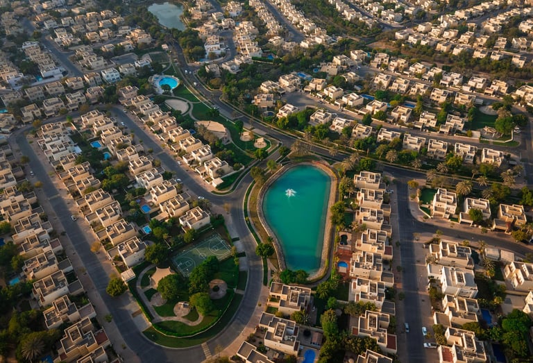
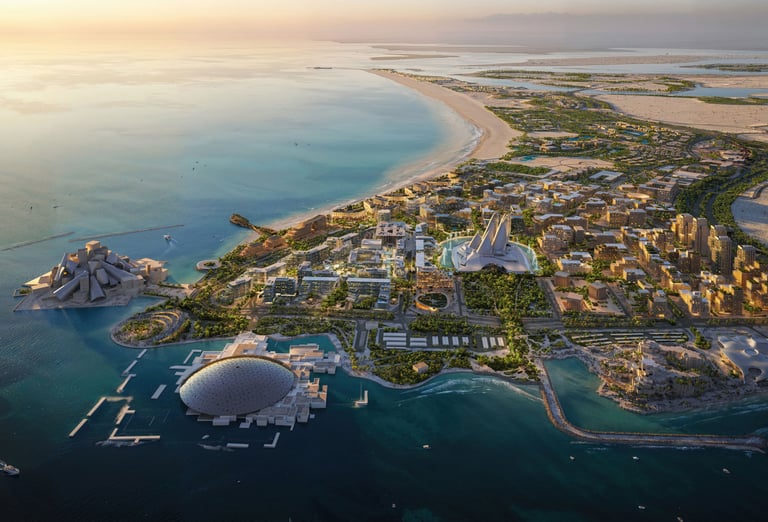
Saadiyat Island
Abu Dhabi
Dubai Hills Mall
Dubai
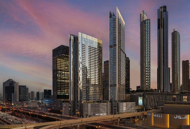
Vida Dubai Mall
Dubai
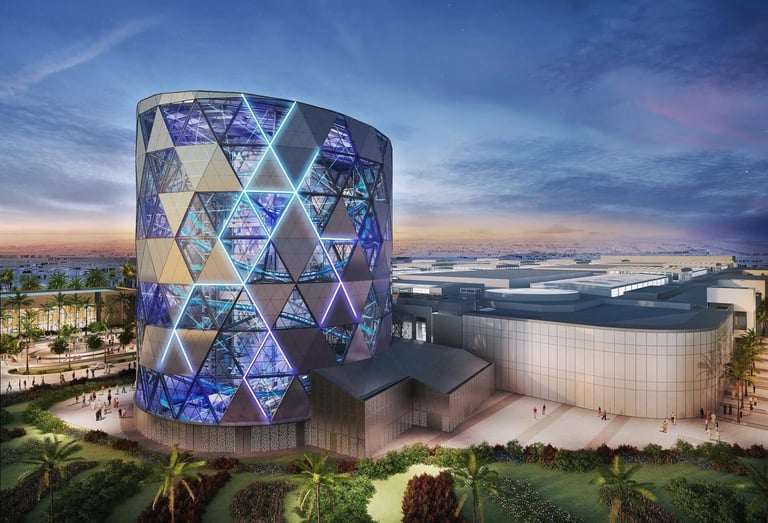
Selected Landscape BIM projects showcasing coordinated, execution-ready digital models delivered for UAE construction developments.
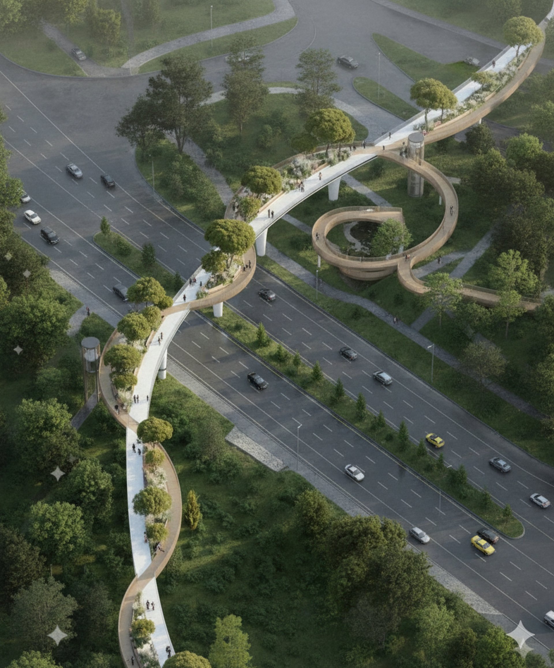
Creating coordinated digital environments that bring design and construction together.
Whether you're developing a new project, coordinating landscape works, or preparing for construction, we’d welcome the opportunity to support your vision.
© 2026 Asterwix. All rights reserved.
Based in Dubai UAE
Independent Landscape BIM consultancy delivering construction-ready digital solutions that connect design and execution.


Follow